Your 31-Point Checklist for Seasonal Home Maintenance in Sonoma County
Owning a home comes with a long to-do list. As a homeowner, you’re responsible for the overall care and maintenance of the house.
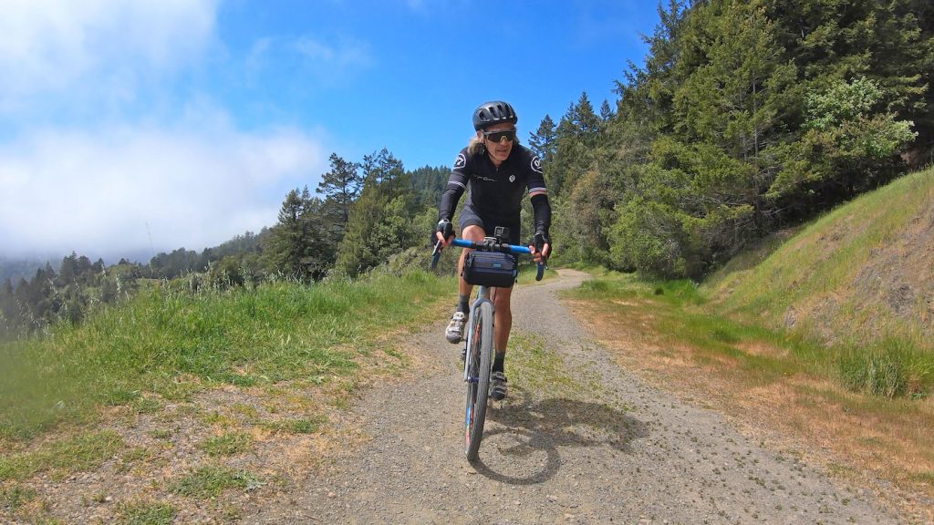
Sonoma County may be known for its vineyards, but off the paved roads, it’s a haven for mountain bikers, too. With forested singletrack, coastal climbs, and rugged backcountry routes, the region offers some of the best and most diverse mountain biking trails in Northern California.
You don’t have to venture far to find them.
Many top-rated trails are just a short drive from Rohnert Park, making it easy to plan a quick ride or a full-day adventure. From smooth beginner loops to steep, technical descents, there’s something here for every skill level—and plenty of opportunities to push your limits.
Whether you’re new to the sport or searching for your next challenge, this guide highlights some of the best mountain biking trails in Sonoma County. Expect a mix of approachable favorites and bucket-list rides that make the most of the county’s natural beauty.
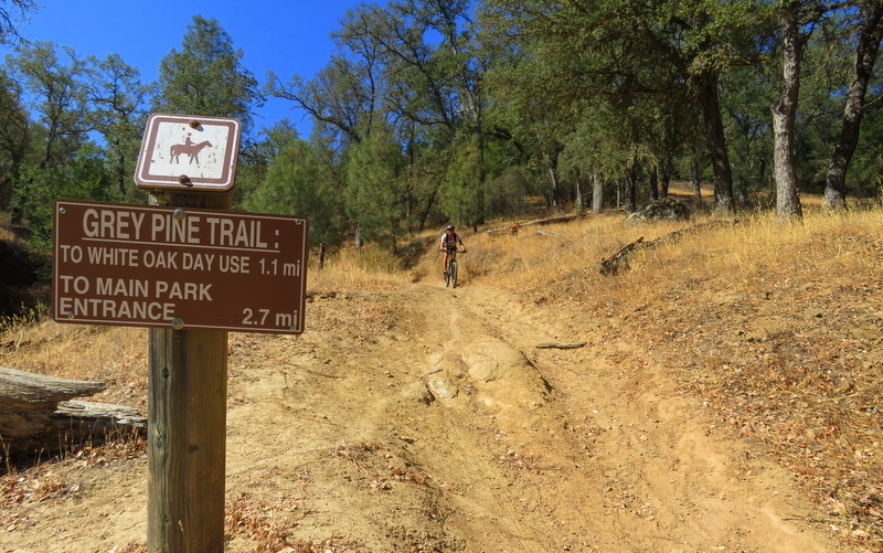
These trails focus on fun rather than skill. Beginner mountain biking trails in Sonoma County offer a low-stress entry point into the sport. Amazing scenery, gentle climbs, and manageable terrain let you focus on improving your balance, shifting, and braking.

An out-and-back easy mountain bike ride that’s great for all fitness and skill levels. This singletrack path reaches the summit around the 5-mile point and goes past scenic Lake Ilsanjo.
Time: About one hour
Distance: 9 miles
Climbing: Approximately 800 feet
View the full route map.
This doubletrack trail is good for beginners and takes an average of 31 minutes. The landscape features a variety of redwood groves and open forest.
Time: About 30 minutes
Distance: 6 miles
Climbing: Approximately 300 feet
View the full route map on Trailforks.
This is a dirt and gravel road trail (primarily for mountain biking) located near Santa Rosa, CA. It’s a doubletrack trail that’s popular with locals.
Time: About one hour
Distance: 8 miles
Climbing: Approximately 1600 feet
View the full route map on Trailforks.
An easy, leisurely ride for all fitness and skill levels, located in Helen Putnam Regional Park southwest of Petaluma. This route travels past grasslands and viewpoints like Overlook Point and Cattail Pond.
Time: About one and a half hours
Distance: 10 miles
Climbing: Approximately 900 feet
View the full route map.
For a more challenging ride, these mountain biking trails in Sonoma County are a good chance to get a quick workout and enjoy a bit of the great outdoors. They still get your heart pumping and adrenaline going, but don’t demand a ton of patience for the prize.
This mountain biking trail requires a good level of fitness, but the payoff is worth it. Check out the breathtaking ocean views of the cliff walls on the Salt Point Trail, which winds along the grassy mesa. Heads up: it includes a section of stairs where you might need to carry your bike.
Time: About one and a half hours
Distance: 9 miles
Climbing: Approximately 1200 feet
View the full route map.
Explore the area of Sonoma Valley Regional Park, along the Pine Trail, which connects miles of fire roads that run past meadows and the Fern Lake reservoir. Keep an eye out for local wildlife that is often spotted nearby.
Time: About two and a half hours
Distance: 12 miles
Climbing: Approximately 2200 feet
View the full trail map.
A challenging ascent leads to breathtaking views of the lush Sugarloaf Ridge landscape and rolling hills. It’s one of the most popular trails in Sugarloaf Ridge State Park for biking and hiking, with a combination of singletrack and doubletrack.
Time: About one and a half hours
Distance: 7 miles
Climbing: Approximately 1500 feet
View the full route map.
Ride through Hood Mountain Regional Park, getting a great view of Mount Hood towards Santa Rosa. The downhill section is a blast after an epic effort to the top. Trails can be exposed on the ridgelines, so bring plenty of water.
Time: About one and a half hours
Distance: 7 ½ miles
Climbing: Approximately 2000 feet
View the full route map.
For seasoned riders who want more than a quick loop, these advanced mountain biking trails in Sonoma County are built to challenge. Expect long ride times—often three hours or more—along with demanding climbs, technical descents, and terrain that keeps you on your toes.
You’ll need strong legs, steady handling, and a sense of adventure. But the payoff? Sweeping views, remote stretches of trail, and the kind of ride that leaves you both exhausted and exhilarated.
These are the routes that test your limits—and remind you why you ride in the first place. Pack smart, pace yourself, and enjoy the journey.
This singletrack trail in Trione-Annadel State Park runs along a ridge as you climb up some switchbacks. The trail is mostly dirt, with more than 16 miles of natural terrain. Some sections of the trail require you to dismount and carry your bike.
Time: About three and a half hours
Distance: About 23 miles
Climbing: Approximately 2500 feet
View the full route map.
A great route for fitness and MTBing enthusiasts with varied scenery along the way. Pass by Salmon Creek, stop for snacks at Occidental Village, and soak in the beauty of Monte Rio Redwoods Regional Park.
Time: About three and a half hours
Distance: About 38 miles
Climbing: Approximately 1900 feet
View the full route map.
These mountain biking trails in Sonoma County aren’t built for comfort—they’re built to push you. Steep, technical, and unrelenting, these expert routes demand advanced handling and full focus. No easy exits, no room for error. Just raw, rewarding challenge.
This expert singletrack ride requires high levels of fitness and endurance. With over 50 miles of shoreline, Lake Sonoma Recreation Area is an outdoor oasis. Note that trails are closed to bikes during the winter/wet season (usually November to April).
Time: About four and a half hours
Distance: About 26 miles
Climbing: Approximately 4000 feet
View the full route map.

Start your journey in downtown Santa Rosa near the train station. This is one of the most scenic trails in Hood Mountain Regional Park. A gravel and dirt trail that starts at the park entrance and ascends to the main ridge and descends to Lake Ilsanjo in the center of the park. It includes a section of about 350 feet where you need to dismount.
Time: About four and a half hours
Distance: About 33 miles
Climbing: Approximately 3900 feet
View the full route map.
The name tells you it’s for serious riders only. This out-and-back route is great for camping and mountain biking, and it’s unlikely you’ll see many other people. It’s an old trail with majestic views of the Willow Creek watershed on one side and the Russian River on the other. Visit this trail from January through November for the best conditions.
Time: About four and a half hours
Distance: About 26 miles
Climbing: Approximately 2200 feet
View the full route map from All Trails.
You’ve got some time, and you want to explore. Why not? Some people just love to push their limits and try a new challenge. If that grabs your interest, check out the three longest MTBing trails in Sonoma County.
Glide past Sonoma vineyards on this lengthy route that will test your fitness levels. The journey circles Healdsburg and features distance over a steep climb. It’s an intermediate to advanced ride and a popular route for visitors staying in the town of Windsor.
Time: Almost five hours
Distance: About 54 miles
Climbing: Approximately 1900 feet
View the full route map.
This route covers a range of trails and paths in Salt Point State Park, with a lot of doubletrack roads that are completely open to bikes. The multitude of paths creates a bunch of different route options, with a big elevation change.
Time: About six hours
Distance: About 52 miles
Climbing: Approximately 5300 feet
View the full route map.
If you’re an experienced mountain bike enthusiast with epic endurance and a very good fitness level, this might be for you. Possibly one of the greatest gravel roads in the area, Willow Creek Fire Road has numerous trail and road intersections where you can turn and loop back. This is a more intense version of that route. It’s a smooth gravel road that’s completely closed to car traffic, so you’ll be the fastest thing on the trail.
Time: About seven hours
Distance: About 68 miles
Climbing: Approximately 4500 feet
Click here to view the full route map.
Sonoma County is well-known for its wine and its restaurants, but it’s also a great place to enjoy outdoor activities. For a mix of exercise and exploration, check out these 23 mountain biking trails.
By the way, if you’d rather keep your bike on paved roads, we’ve got you covered. Check out our list of the 16 best cycling routes in Sonoma County.
Looking for a community that puts you in close proximity to some of the best outdoor activities Sonoma County has to offer? We’d invite you to come and visit SOMO Village. Situated in Rohnert Park, SOMO Village is now under construction. Stop by and experience it for yourself.